Typhoon Kong-rey will weaken to a moderate typhoon as its structure is undermined by the terrain after making landfall in Taidong.
The central weather adm. Forecaster Zhu Mei-lin says it should weaken by 5 p.m. and could move out to sea as early as 8 p.m and it's likely to maintain tropical storm strength when passing Matsu.
Zhu also says that land warnings for Taiwan's main island may be lifted around noon tomorrow.
But until then super torrential is still pounding the eastern counties relentlessly. The accumulated rainfall in Hualian Yu-li has reached 670 millimeters, causing serious flooding, and on Yi-lan's Tai-ping-shan, it's 740 millimeters.
Kong-rey's center is now 50 kilometer northwest of Taidong city and moving on a direction of northwest toward Zhanghua.
The CWA warns that Wind speeds can gust to level 14 in Taidong and Hualian, and level 11 in New Taipei, Kaohsiung and Pingdong coastal areas.
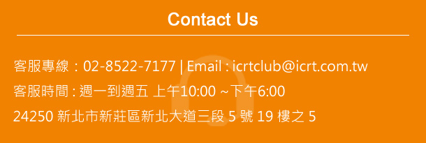
Customer Service Hotline: 02-8522-7177 | Email: icrtclub@icrt.com.tw Customer Service Hours: Monday-Friday 10AM-6PM nternational Community Radio Taipei 19-5F, No. 5, Sec. 3, New Taipei Blvd., Xinzhuang Dist., New Taipei City 24250